
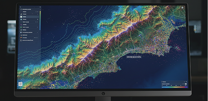
Traditional land surveys can take days. High-accuracy drone payloads deliver sub-centimeter point clouds in hours.
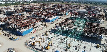
A detailed breakdown of volumetric photogrammetry models speeding up structural construction tracking timelines.
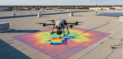
Learn how commercial enterprise drones dramatically reduce costly climbing hazards and pinpoint thermal roof anomalies.